 vesseltracker.com
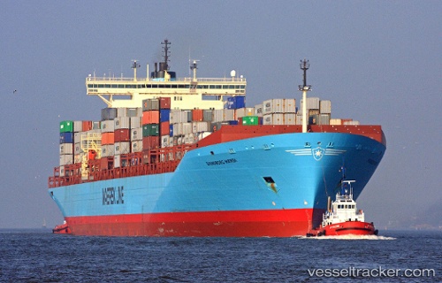
Vessel MSC YUKTA X IMO: 9146467, MMSI: 636022658 Container Ship
UTC, -24.30125, -46.39380, course: 180, speed: 7.8
UTC, -24.54832, -46.43066, course: 182, speed: 10.9
2026-02-21 20:13:07 UTC, -24.83246, -46.09058, course: 125, speed: 11.5
Live AIS position:
UTC. 51 nm S of Guarujá),
updated 2026-02-21 20:13:07 UTC.
Find the position of the vessel MSC YUKTA X on the map. The latter are known coordinates and path.
marine traffic ship tracker show on live map
The current position of vessel MSC YUKTA X is -24.83246 lat / -46.09058 lng. Updated: 2026-02-21 20:13:07 UTCCurrently sailing under the flag of Liberia
MSC YUKTA X built in 1998 year
Deadweight:
119954 tDetails:
Last coordinates of the vessel:
UTC, -24.18007, -46.39607, course: 180, speed: 5.7UTC, -24.30125, -46.39380, course: 180, speed: 7.8
UTC, -24.54832, -46.43066, course: 182, speed: 10.9
2026-02-21 20:13:07 UTC, -24.83246, -46.09058, course: 125, speed: 11.5